

Drain Mapping & Drain Tracing in Hertfordshire
Drain mapping is the process of locating the exact route, depth, and direction of your underground pipework. While a standard CCTV survey looks inside the pipe to find blockages, mapping tells you exactly where the pipe is located beneath the ground.
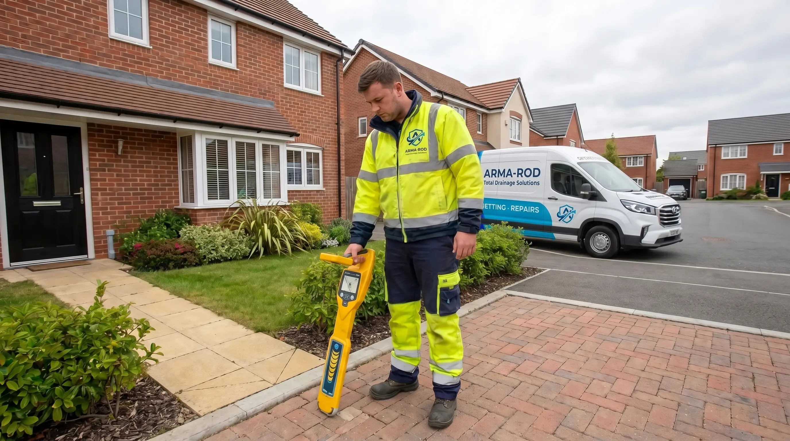
We use advanced Sonar Drain Tracing technology, attaching a transmitting sonde to our camera unit which sends a signal through concrete and soil to a receiver above ground. This allows us to map your drainage system with pinpoint accuracy, without digging a single hole.
You typically need this for:
- Home Extensions: To locate pipes before digging foundations.
- Build-Over Agreements: Mandatory plans required by Thames Water when building near a public sewer.
- Lost Drains: Finding buried manholes or unknown connections.
Why Use Drain Mapping?
Understanding the exact layout and depth of your underground infrastructure is the critical first step for any successful renovation, property purchase, or structural investigation. Arma-Rod provides accredited drain mapping and tracing services across Hertfordshire, specialising in the high-accuracy data required for Thames Water and Affinity Water Build-Over Agreements and Planning Applications.
Using advanced iTouch camera systems and sonar tracing technology, we provide precise digital schematics for residential and commercial sites in Watford, St Albans, Hemel Hempstead, and Rickmansworth. Our local reports ensure your project remains compliant, preventing costly delays and protecting you from structural liability—without the premium price tag of out-of-town city firms.
What are Invert Levels?
An Invert Level is the measurement of the lowest internal point of a pipe. Invert levels are critical because drain mapping is more than a sketch. At Arma-Rod, we provide high-accuracy digital schematics using radio-frequency sondes and electromagnetic detection. Unlike basic surveys, our reports include Invert Levels (pipe depths) and Manhole Schedules as standard. This data is critical for verifying if new connections will flow via gravity or require macerators.
To ensure your project meets all building control and legal requirements in Hertfordshire, we generate professional plans straight from the field as standard:
- iTouch Digital Site Schematic (PDF): A high-resolution, WRc-compliant visual site plan mapping out pipe runs, flow directions, and asset positions.
- Full Manhole Schedule: Detailed on-site data logs including pipe materials, diameters, and exact coordinates.
- Accurate Depth & Invert Levels: Precise measurements of the lowest internal points of your pipes, essential for your builder’s groundworks.

Who Requires Drain Mapping in Hertfordshire?
Accurate drainage schematics are a regulatory requirement for various property sectors. Whether you are seeking a Build Over Agreement from a water authority or a developer managing a major site, our data-led approach ensures compliance.
- For Homeowners & Renovators: If you are planning an extension or a loft conversion, a drain map is your first step. It provides the essential documentation for Build-Over Agreements, ensuring your project doesn’t face a ‘stop-work’ order from local authorities.
- For Local Builders & Developers: We provide the precise site data needed for viable project designs. Our WRc-approved iTouch schematics prevent unforeseen and expensive delays during the construction phase.
- For Commercial & Industrial Site Owners: Maintain adherence to Environmental ISO standards and prevent costly operational downtime caused by system failures.

Solving Complex Drainage Issues with Tracing Technology
Often, a persistent odour isn’t caused by a blockage, but by an ‘orphaned’ pipe or a dry trap hidden within the building’s structure. Our mapping process tracks airflow and layout to identify these ‘dead legs’ where stagnant waste sits. This specialized tracing is vital for Party Wall disputes, providing legal evidence of pipe positions and structural integrity before work begins on neighbouring boundaries.
Our Specialized Drain Mapping Services
Our Technical Drain Mapping Process
We’ve refined our process to deliver maximum precision with zero disruption. Here is how our engineers secure the data for your project in Hertfordshire.
- Step 1: Consultation & Technical Scoping We begin with a detailed review of your project requirements (e.g., Build-Over Agreements or Property Purchase). We provide a transparent, fixed-price quote based on the scale of the infrastructure.
- Step 2: On-Site Tracing & Sonar Detection Our experienced drainage engineers utilise radio-frequency sondes and electromagnetic locators alongside our iTouch camera systems to track the exact path, depth, and Invert Levels of your network. This non-invasive survey identifies every junction and connection point without the need for excavation.
- Step 3: Direct iTouch Digital Mapping: Instead of sending data back to a slow, costly design office, our field engineers log pipe gradients, materials, and manhole schedules directly into the built-in iTouch software while working on-site.
- Step 4: Instant Site Layout Delivery Because our reporting system is streamlined directly from the service van, you receive your complete package quickly: high-resolution, WRc-compliant PDF plans and a written report containing exact depths and invert levels.
Technical Data & Reporting Standards
Every Arma-Rod mapping project is delivered as a comprehensive Site Intelligence Pack. We provide the granular, high-integrity data required by structural engineers and local water authorities to ensure total project compliance.
- MSCC5 Compliant Reporting: Our data is formatted to the Manual of Sewer Condition Classification standards, accepted by Thames Water and local councils.
- iTouch System Compliance: We use industry-recognized, WRc-approved equipment to calculate Invert Levels (IL) and verify flow viability automatically.
- Instant PDF Layouts: Clear, computer-generated schematics ready for immediate building control and planning submissions.
Preventing Structural & Legal Risks
Failure to accurately map drainage infrastructure before construction can lead to catastrophic project failure. Our technical surveys mitigate the three primary risks faced by property owners in Hertfordshire:
- Structural Collapse Risk: Building heavy structures like garages or extensions over old, unmapped soakaways or septic tanks is a recipe for foundation failure. Our sonar tracing identifies these hidden voids before you dig.
- Local Authority ‘Stop-Work’ Orders: If you begin work near a public sewer without a Thames Water Build-Over Agreement, the local authority has the power to halt your project. Our iTouch digital schematics provide the legal documentation required to keep your project moving.
- Environmental Compliance: For commercial sites, mapping is the first step in pollution prevention. We identify ‘orphaned’ pipes and misconnections, ensuring your site adheres to ISO 14001 environmental standards and preventing heavy fines.
Why Choose Arma-Rod for Hertfordshire Drain Mapping?
As a proudly local drainage company, we focus entirely on our local community. We understand the specific regional layout challenges across Hertfordshire—allowing us to arrive faster, finish quicker, and offer significantly cheaper rates than out-of-town city firms.